#1 NDVI Scope, #2 Improv, #3 MeasureGeo, #4 Starship Lander, #5 Deer Awareness, article When Satellites Go Quiet, People Notice, on X https://officeandties.com @bot is legit. Enjoy.
AeroBusiness, and the Bugs My Tests Were Too Polite to Find
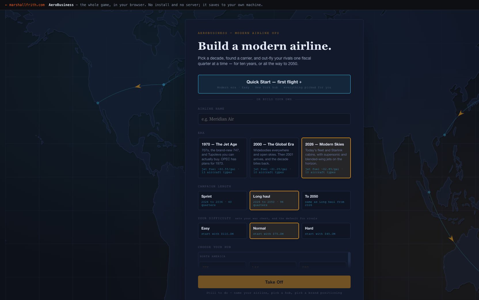
Live on the App Store as AeroBusiness. A turn-based airline tycoon in one file, no account and no server. Also a catalogue of the bugs that only appear when you stop testing and start clicking.
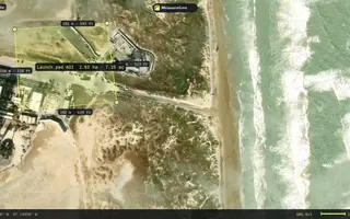
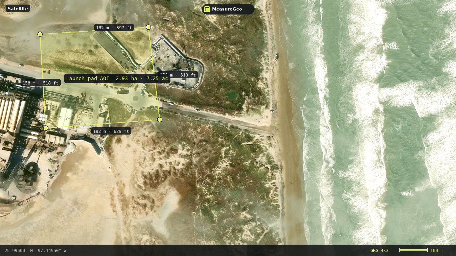
Live on the App Store as MeasureGeo. MeasureGeo — a simple map toolkit for everyday geospatial work. Plot farms, solar arrays, pools, hunting tracks, and other AOIs; measure and label; drop a GRG grid; export PNG/KML for ATAK and other tools.
Nobody Could Land It, and the Difficulty Was Never the Problem
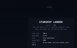
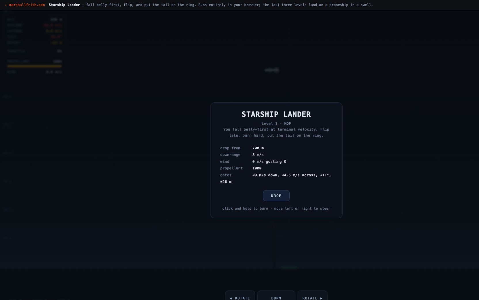
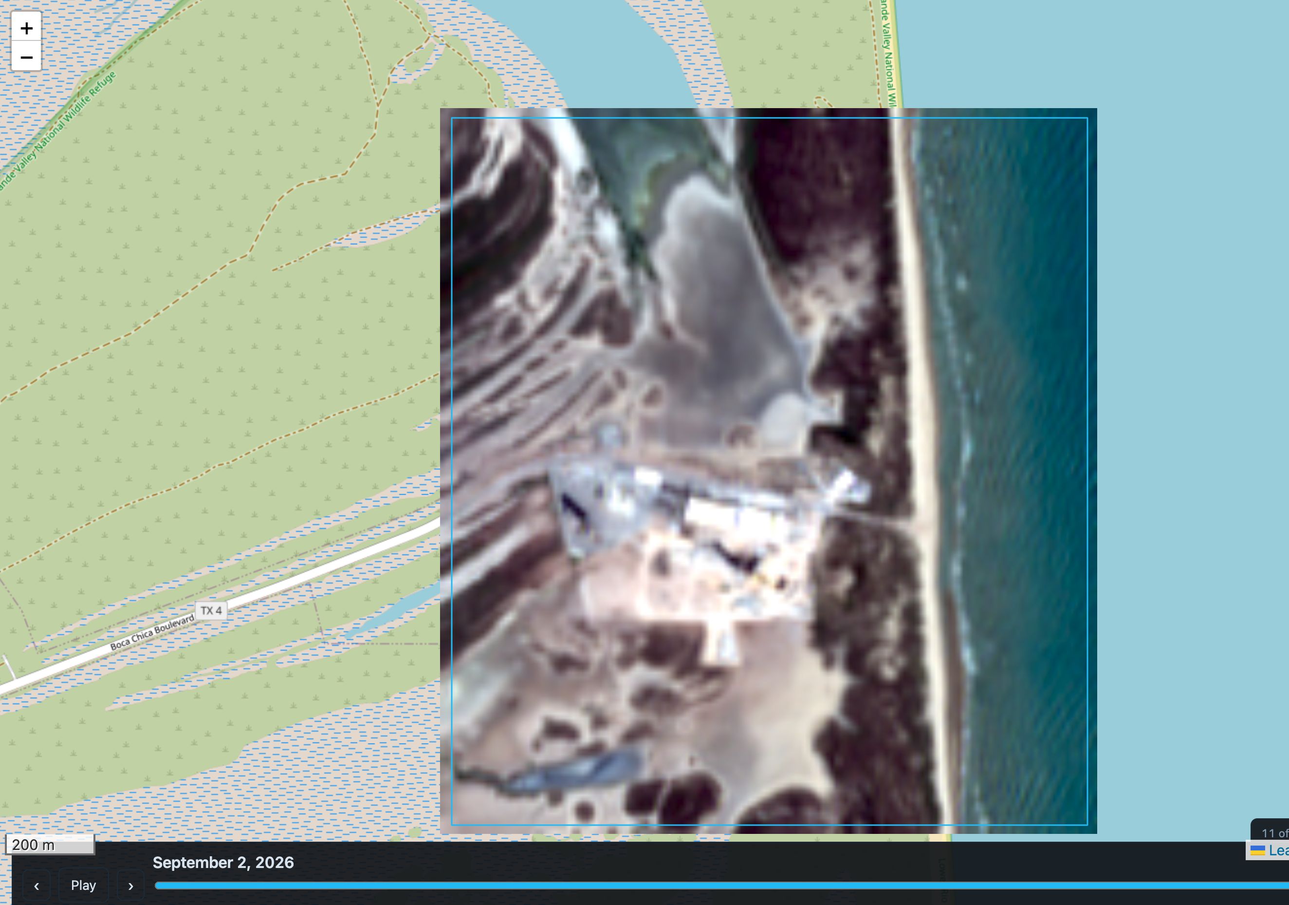
Live on the App Store as Starship Lander Sim. A browser game where a Starship-shaped vehicle falls belly-first at terminal velocity, flips, and lands on a ring or on a droneship deck heaving in a swell. It was unlandable for weeks, and never because it was hard.
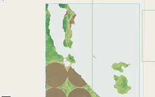
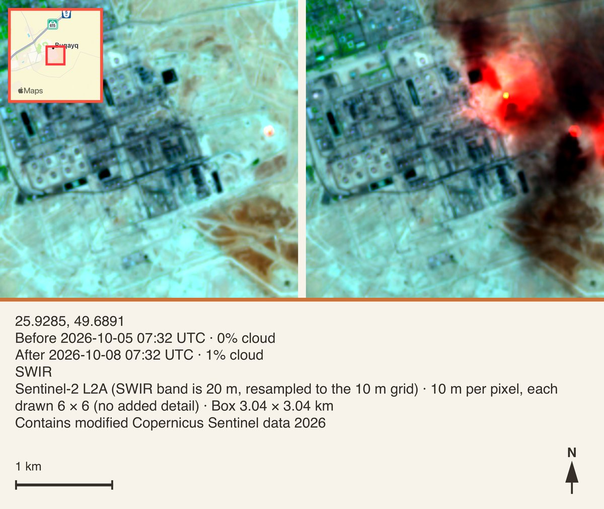
Live on the App Store as Sentinel-2 Clear Days. Draw a box, scrub nine years of Sentinel-2 over it, and get the date each pixel changed — with a threshold that was measured rather than chosen.
iOS app for fast, honest before-and-after comparisons of any place on Earth, built on free Copernicus Sentinel imagery. Version 1.0.1, live on the App Store.
Ready for Deer Season — Hearing Lobe, Smell Cone, See Hint
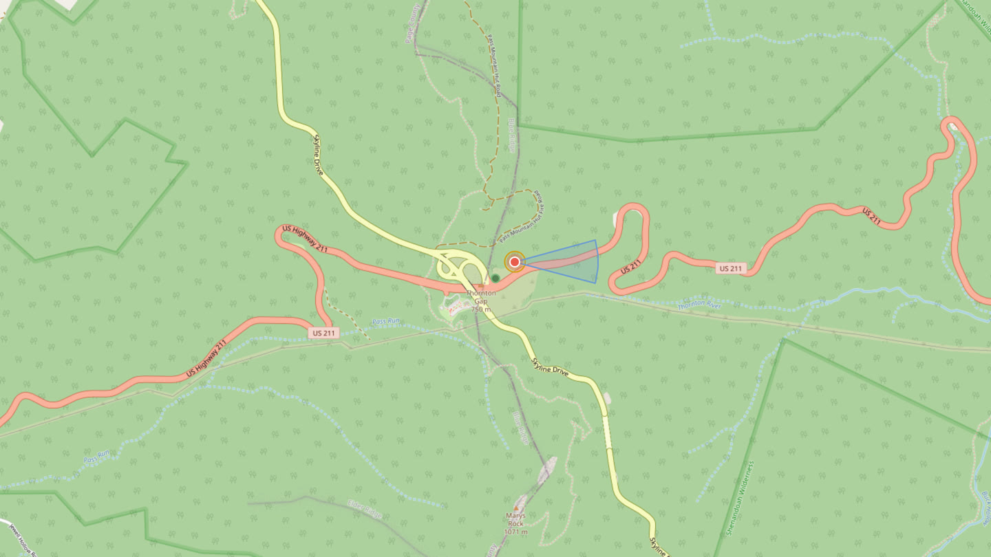
Live on the App Store as Deer Awareness. A wind-biased hearing lobe, downwind smell cone, and a rough see hint for the woods. Export KML for Google Earth or TAK.
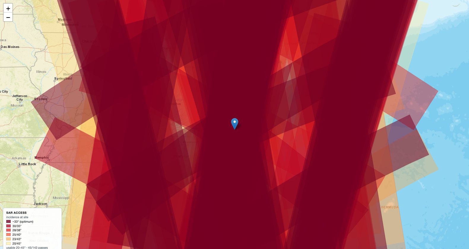
The Satellite Pass Directly Overhead Is the One You Cannot Use
Predicts when a radar satellite can actually image a spot, which is not the same as when one flies over it. About a quarter of passes are usable, and the best-looking ones are the worst.
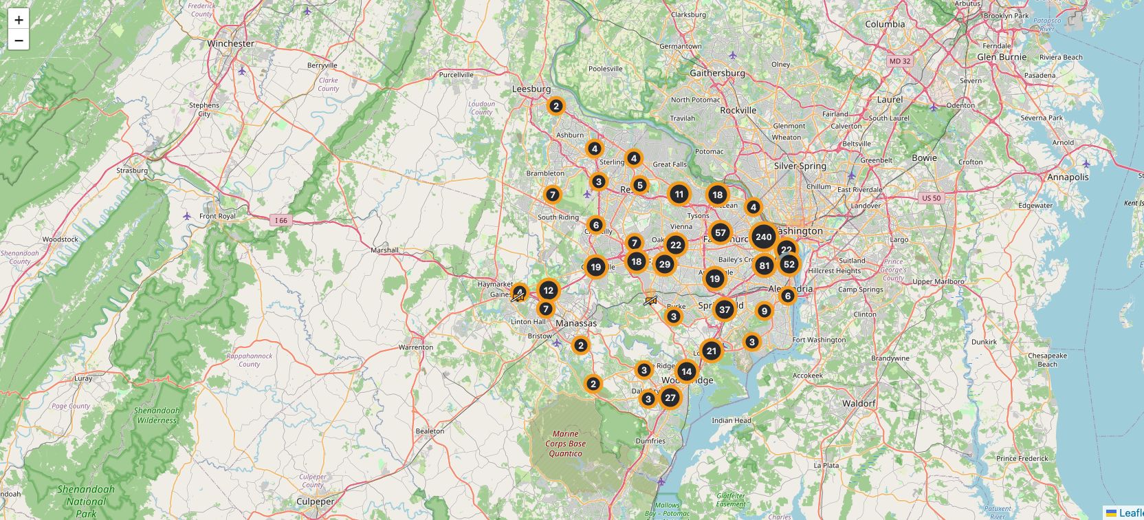
A Camera That Needs a Password Can Never Be Handed to ATAK Directly
Maps 35,944 public cameras and re-publishes any of them as a stream ATAK, VLC or a recorder can open. The format ATAK uses for video has nowhere to put a username, which decides almost everything else about how it works.
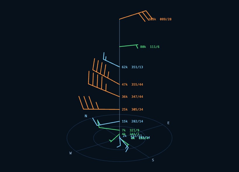
Wind from the ground to 103,800 feet, anywhere. The holes in the ladder are interpolated and marked, then handed to ATAK, Google Earth, or anything that opens KML.
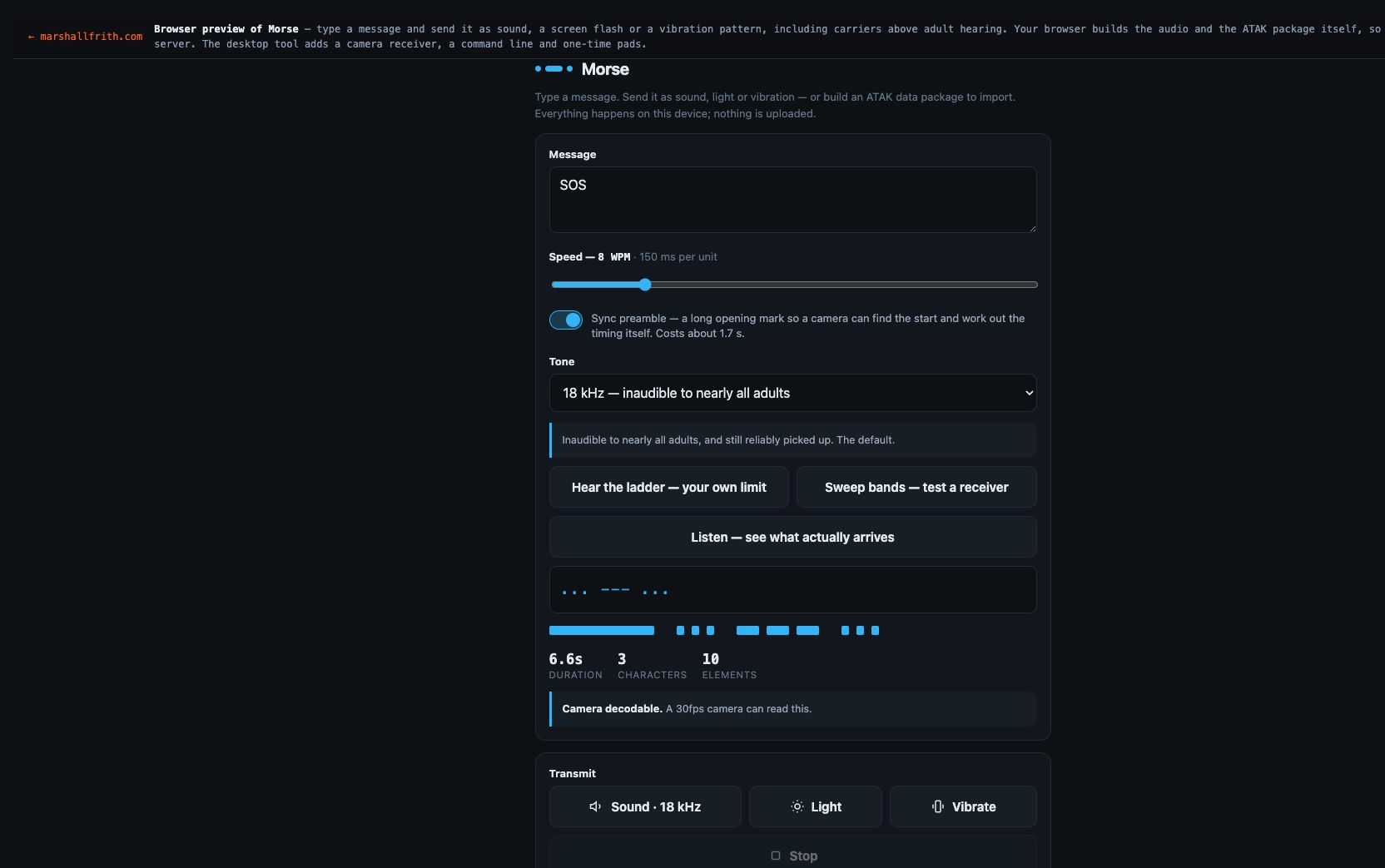
A basic house loop carries the Morse as a quiet voice under the kick. Anyone standing there hears a tune, not dits. That is the send you can play out loud.
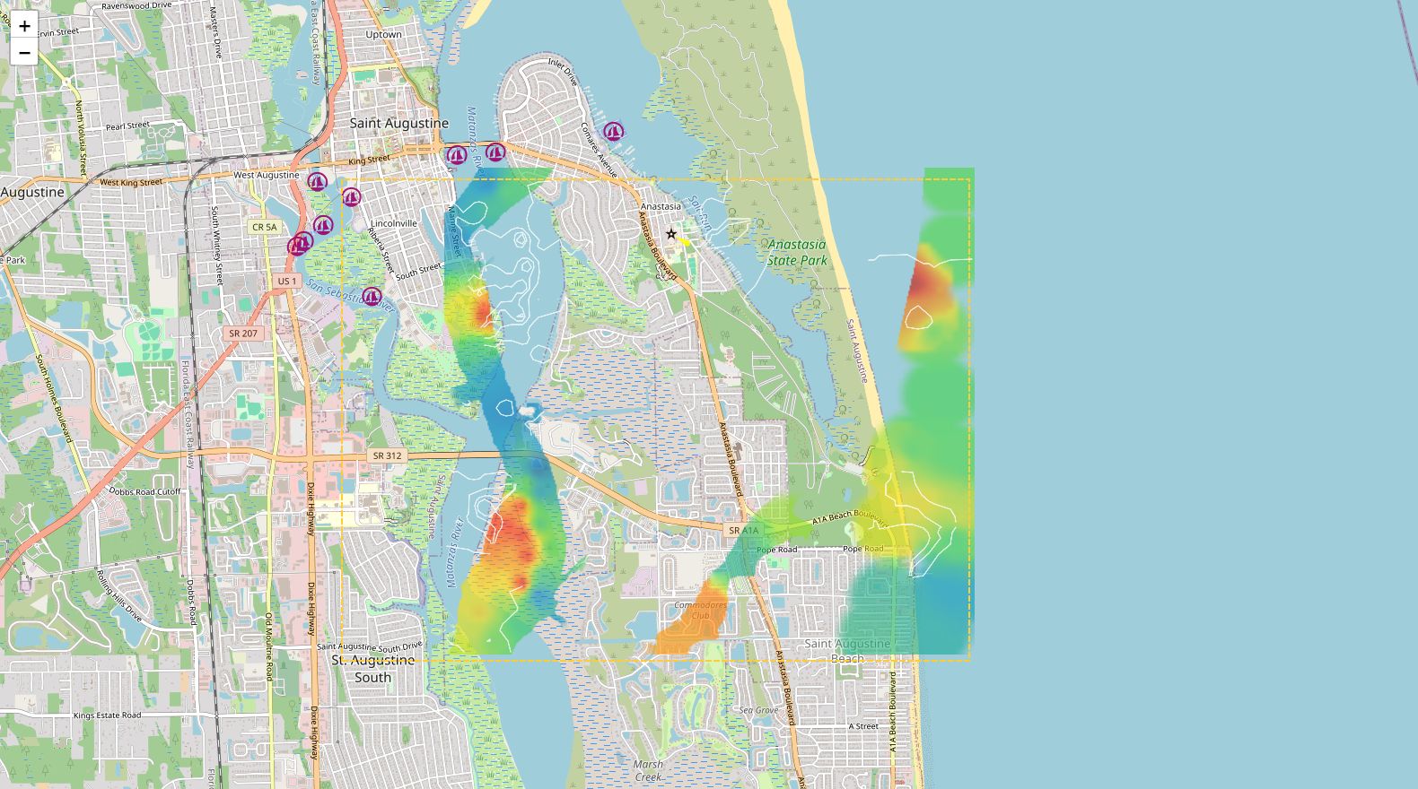
I like making tools that help you see the world a little more clearly — whether that is a satellite pass overhead, the wind at 80,000 feet, a ship on the water, or the bottom under it. Space, air, sea, subsea: same itch. What is actually there, and can I hold the answer in my hand.