#1 Deer Awareness, #2 Morse, #3 MeasureGeo, #4 Depth, #5 AeroBusiness, article When Satellites Go Quiet, People Notice, on X @Alyia4ALX going to address this today? https://www.instagram.com/reel/DfDogFhozhg/?psln=NndreTRlem5qMzV4 @justindotnet never had the guts to call out that housing project for what it is. Since 21' I can count at least 5 shootings. Can you give me the reason they all happen in roughly same place?

Marshall Frith

Projects

The Daily Picture, Not the Ten-Metre One

Scrub daily NASA Worldview imagery over a box. Global, once a day, many sensors — the other timeline from the Sentinel-2 change tool.

A Sentinel-2 scene tells you what a few kilometres looked like at ten metres, every five days if the sky cooperated. A Worldview tile tells you what a whole coast looked like this morning, at the scale a daily polar orbiter can support. Those are different questions. This is the second one.

Try the browser preview — no install, no account. Scrub a few weeks of MODIS and VIIRS, recent HLS Landsat 30 m, or the nine WELD annual mosaics GIBS actually serves. Search a street, a city, decimal degrees, or an MGRS grid, and export a short yearly film of the view. Your browser reads NASA's public GIBS tiles itself. NASA sees which tiles you asked for. My server sees nothing, because there is not one.
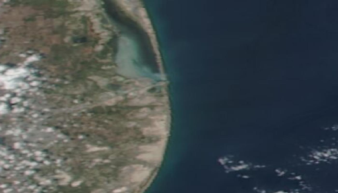
Daily MODIS true-colour over Starbase at Boca Chica — the gulf, the lagoon, and the pad complex at the scale a daily pass shows.

The rest is for members

Sign in or make a free account to see how it was built.

Looking for the code?

It is not published. These are personal builds, and what is here is the write-up rather than the repository.

The browser version is here, running the same work on your own machine: try it.

If you want to read the source or run the full desktop tool, ask. Say what you are doing with it and I will usually send it over.

Ask for the code

Comments

Plain text only. Held for review before it appears.