Bathymetry Maps
Coming soon to the App Store. An iPhone app that pulls charted water depths from NOAA for an area you draw on US water, colours them by depth and exports a map file. Not for navigation.
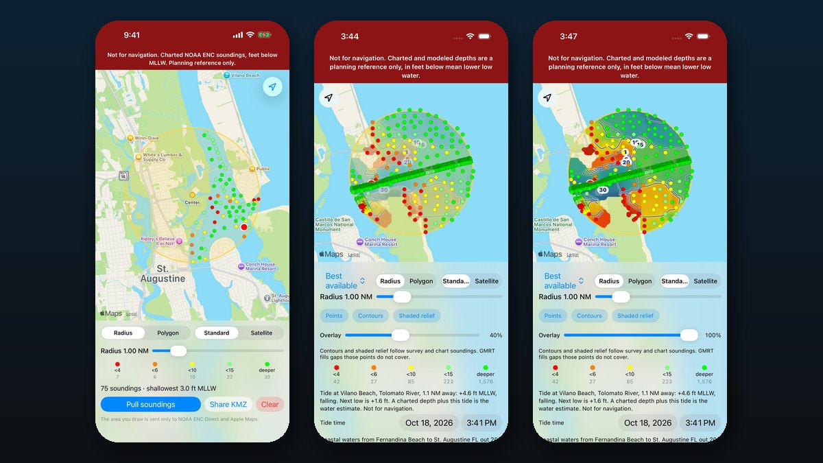
Bathymetry Maps is an iPhone app for looking at charted water depths. It is coming soon to the App Store and cannot be downloaded yet. Until it is out, the support page describes the app and the depth preview shows the same idea in a browser.
Draw a circle or a shape on US water and the app asks the National Oceanic and Atmospheric Administration (NOAA) for the charted depth readings inside it, taken from its Electronic Navigational Charts. Depths are shown in feet below mean lower low water (MLLW), the usual chart baseline, and colour-banded so the shallow spots stand out.
Read the full write-up
Free account unlocks the rest of this page. An account is optional. It gets your comments a name that is yours, and skips the bot check every time you post.

Comments