#1 Improv, #2 Morse, #3 Kompressed, #4 Ship Finder, #5 High Altitude Balloon Path, article Finding pilots without emitting RF -- Combat Search and Rescue (CSAR) RF flashlight from space, on X Watch Agadez grow (be built), then handed back, to now. Northern Niger. Keep on eye on it!
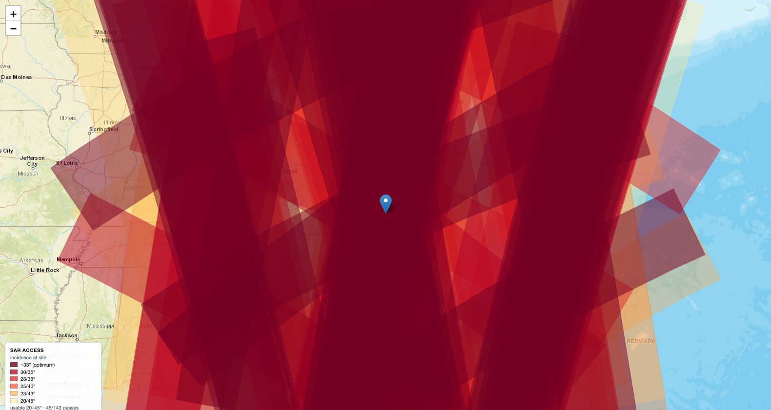
The Satellite Pass Directly Overhead Is the One You Cannot Use
Predicts when a radar satellite can actually image a spot, which is not the same as when one flies over it. About a quarter of passes are usable, and the best-looking ones are the worst.
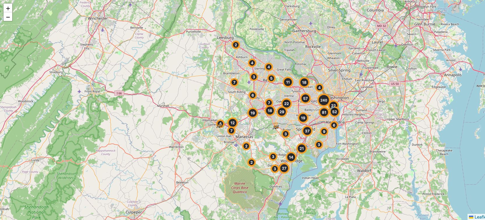
A Camera That Needs a Password Can Never Be Handed to ATAK Directly
Maps 35,944 public cameras and re-publishes any of them as a stream ATAK, VLC or a recorder can open. The format ATAK uses for video has nowhere to put a username, which decides almost everything else about how it works.
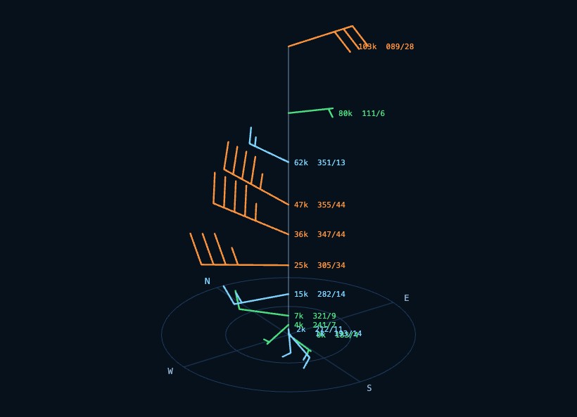
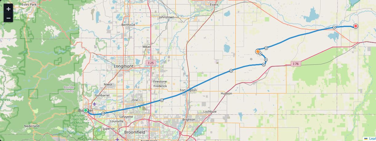
Wind from the ground to 103,800 feet, anywhere. The holes in the ladder are interpolated and marked, then handed to ATAK, Google Earth, or anything that opens KML.
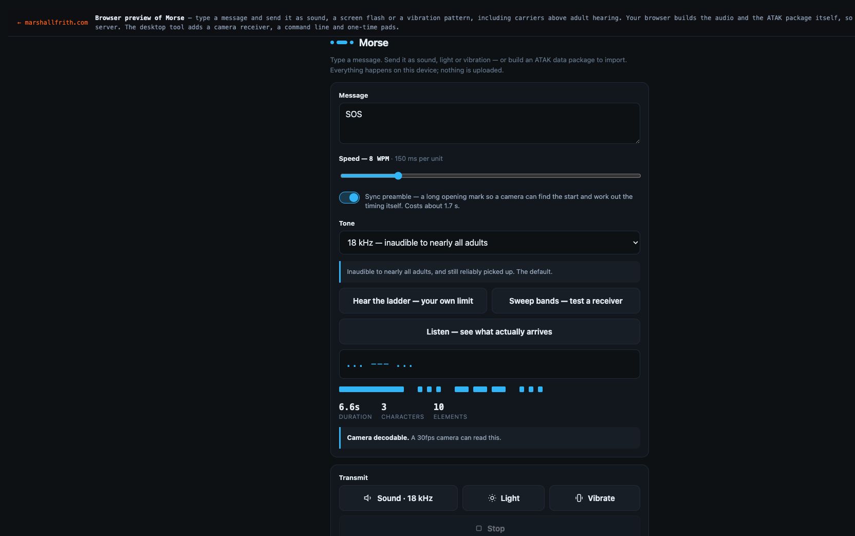
A basic house loop carries the Morse as a quiet voice under the kick. Anyone standing there hears a tune, not dits. That is the send you can play out loud.
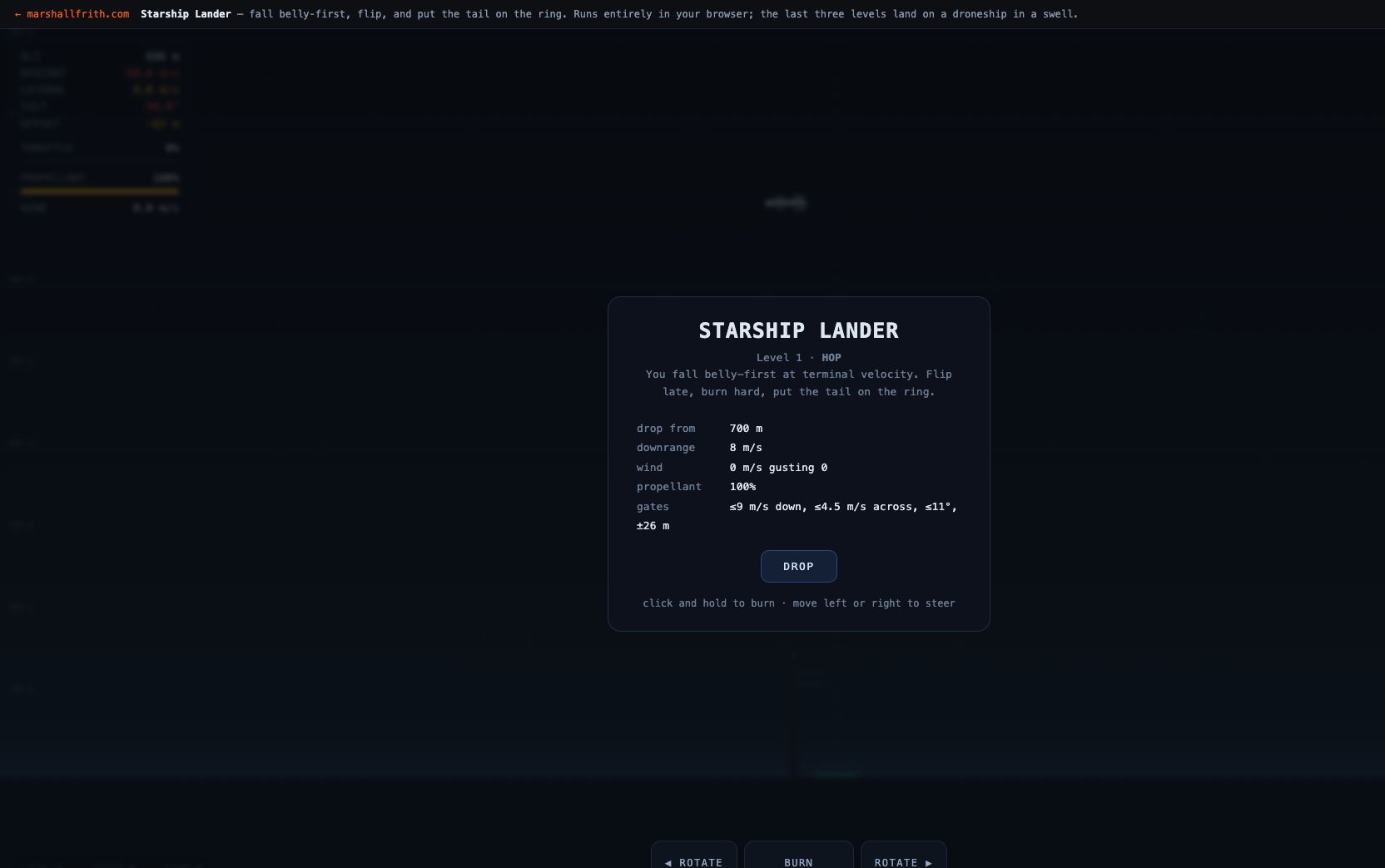
Nobody Could Land It, and the Difficulty Was Never the Problem
A browser game where a Starship-shaped vehicle falls belly-first at terminal velocity, flips, and lands on a ring or on a droneship deck heaving in a swell. It was unlandable for weeks, and never because it was hard.
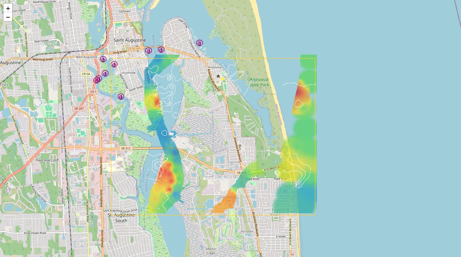
I like making tools that help you see the world a little more clearly — whether that is a satellite pass overhead, the wind at 80,000 feet, a ship on the water, or the bottom under it. Space, air, sea, subsea: same itch. What is actually there, and can I hold the answer in my hand.